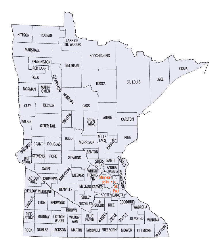
Digitized State of Minnesota Plat Book -- 1916


Click on a county on the map below to view a clickable image of townships

Please check below the map for specific instructions...


Aitkin Anoka Becker Beltrami Benton Blue Earth Big Stone Brown Carlton Carver Cass Chippewa Chisago Clay Clearwater Cook Cottonwood Crow Wing Dakota Dodge Douglas Faribault Fillmore Freeborn Goodhue Grant Hennepin Hubbard Houston Isanti Itasca Jackson Kanabec Kandiyohi Kittson Koochiching Lac Qui Parle Lake Le Sueur Lincoln Lyon Mahnomen Marshall Martin McLeod Meeker Millelacs Morrison Mower Murray Nobles Norman Nicollet Olmsted Otter Tail Pennington Pine Pipestone Pope Polk Ramsey Red Lake Redwood Renville Rock Rice Roseau Scott Sherburne Sibley St. Louis Stearns Steele Stevens Swift Todd Traverse Wabasha Wadena Waseca Washington Watonwan Wilkin Winona Yellow Medicine Wright Lake of the Woods

Some county index images are quite large -- you may need to scroll down or to the right to locate your township

When selecting a township, please note the Township (T) number (along the left or right side) and the Range (R) number (along the top or bottom) -- as there are multiple townships displayed on each page, you will need to identify your township by these numbers...