
First Aerial map of Saint Paul, 1923
Aerial photograph set from summer of 1923, commissioned by city and county planners.
Produced by Kenneth M Writh, Maj. Ray Miller, and Capt. Trevor Williams.
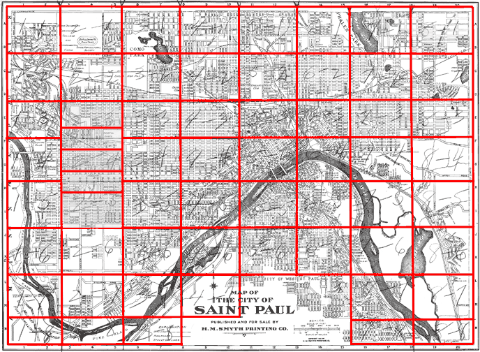
This index map shows the sections covered by aerial photographs in this set. To view a photo, click inside the red box for the area you wish to see.
If you are having trouble determining which photo you need, try the link below the map for a larger (but non-clickable) version.
(Note: These images are approximately 2MB in size and may take several minutes to open on a dial-up Internet connection).
Original-size Index Map![]()